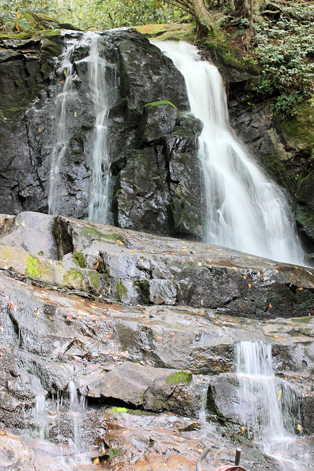
Laurel Falls
Laurel Falls is one of the most popular falls due to it’s easy, paved walking trail.
Height of Falls: 80′
Round-Trip Hike: 2.6 mi.
Difficulty: Easy / Houly
Laurel Branch and the 80-foot high Laurel Falls are both named for the mountain laurel, an evergreen shrub which blooms along the trail and near the falls in May. Laurel Falls consists of an upper and lower section, divided by a walkway which crosses the stream at the base of the upper falls. Due to its popularity among park visitors, parking at the trailhead for the falls is limited. The area is especially busy on weekends year-round and on weekdays during the summer months.
The round-trip distance to Laurel Falls is 2.6 miles, and the hike is considered moderate in difficulty. It generally takes approximately two hours to hike to the falls and back. The trail is paved, but is rough and uneven, featuring short, steep sections which can become slippery in wet weather. Portions of the trail also have steep drop-offs, so it is not suitable for strollers or wheelchairs. Children will need to be closely supervised at all times.
To access the trailhead of Laurel Falls Trail from the Sugarlands Visitor Center, turn toward Cades Cove on Little River Road and drive 3.5 miles to the trailhead. Parking areas are available on both sides of the road.
You can read about our first-hand experience at Laurel Falls in our Explorations section.