Fontana Dam

Fontana Dam.
Written By: Shawn Dunnaway
Exploration Date: October 9, 2011
Weather: Mostly Sunny and 66°
Elevation: 1,270′ below the dam, 1,750′ above
GPS: 35.452053, -83.801308
Exiting from the Tail of the Dragon (US 129) and onto Highway 28 toward Fontana Dam, we were greeted with a very scenic drive along the Little Tennessee River. Along the way, we saw a very large cliff that appeared to have been blasted out many years ago, perhaps as part of the construction of the dam.
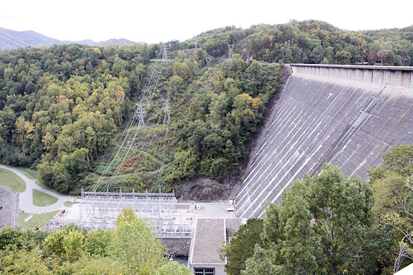
Upon arrival at the dam, we were very impressed at just how big it was. The photos simply do not do the dam justice. It is enormous, towering 480 feet and running 2,365 feet wide. At the time of its construction in the early 1940s, it was the fourth-tallest dam in the world, and it remains the tallest dam in the eastern United States. It contains over 2.8 million cubic yards of concrete.

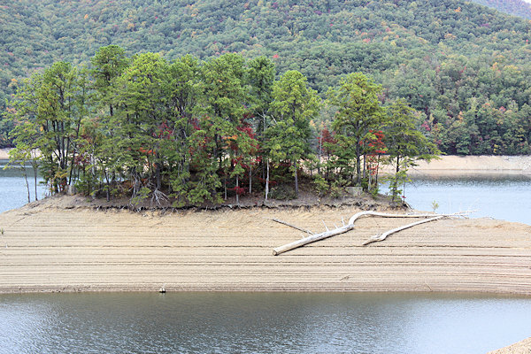
An island in Fontana Lake.
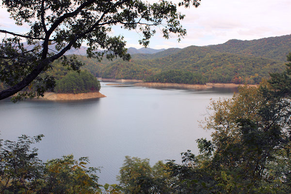
Driving several miles more, we reached the top of Fontana Dam and got to see Fontana Lake at its winter elevation. The elevation of the lake fluctuates 57 feet throughout the year and is controlled by the Tennessee Valley Authority (TVA). Seeing the lake at its winter stage provided some very interesting topography.
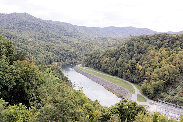
We climbed up to the observation deck of the dam and snapped some photos of the area below, some 500 feet down. We also got to see how the dam worked by peering into the giant tubes the water spills down when the gates are open. Again, the photos do no justice to just how impressive and neat they are.
The area around the dam was also impressive, with a nice resort at Fontana Village that is very active in the summer months.
The whole area from Bryson City to Fontana Dam and even to the Tail of the Dragon is worth an afternoon’s drive when visiting the Great Smoky Mountains National Park.


