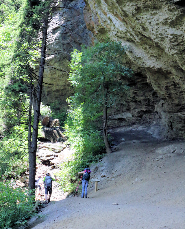
Alum Cave Bluff Trail
Another popular hiking trail in the Smokies is the trail leading to Alum Cave Bluff. Accessible from Newfound Gap Road, the bluff is about a 2.3 mile hike (4.5-mile round trip).
The first mile or so will take you through an old growth forest with relatively easy terrain. Alum Cave Creek mostly parallels the trail for this first section.
About 1.3 miles into the hike you’ll see Arch Rock, a unique geological formation. The trail goes under the arch rock where it continues on to Alum Cave Bluff. At this point, the trail becomes steeper.
Once at Alum Cave Bluff, the trail continues on to Mount LeConte, but most hikers stop at cave. The cave sits at just under 5,000 in elevation which translates into an 1,100-foot elevation change from the parking area.
The Alum Cave Bluff trailhead is located about 10 miles from Gatlinburg on US 441 (Newfound Gap Road) at these coordinates: 35.629553, -83.451443
See Also: Explorations: Alum Cave Bluff & Arch Rock, our first-hand experience.

